South Ruby Mountains
South Ruby Mountains Site
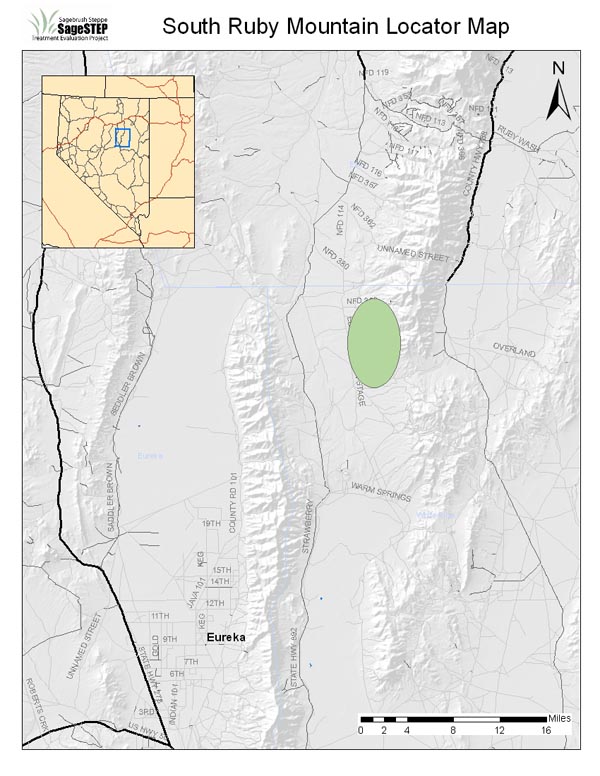
| Location: | Elko County, ~ 40 miles from Wells, NV |
| Land Management Agency: | USDA Forest Service, Humboldt-Toiyabe National Forest, Ruby Mountains Ranger District |
| SageSTEP Site Manager: | Maggie Gray |
| Plots: | Three 50-acre core plots (Control, Burn, Mechanical) |
| Elevation: | 6500-6700 ft |
| Topography: | 8-31% slopes of varying aspect (N, NW, W, SW, and S) |
| Common Vegetation: | Utah juniper, singleleaf pinyon pine, Wyoming big sagebrush, green rabbitbrush, bitterbrush, bluebunch wheatgrass, Sandberg bluegrass, Indian ricegrass, needleandthread, long-leaf phlox, mat buckwheat, yellow eyed cryptantha, tailcup lupine, arrowleaf balsamroot, columbia puccoon, blue flax, long-flowered bluebells |
| Fire Regime: | Historical fire return interval of 30-40 years. Woodland invasion and canopy closure have significantly increased the risk of less frequent, catastrophic fire in these communities. |
| Representative Land Base: | Vast acreages in both the High Central and High Calcareous Provinces |
| Grazing: | Plots are located within active grazing allottment and will be fenced for duration of the study. |
| Treatments Implemented: | Fall 2008. For more information about treatments, click here. |
| Wildfire Activity: | 50% of Mechanical Plot burned in wildfire 2019. |
| Unplanned Management Activity: | South Ruby control plot was inadvertedly clearcut in spring 2017, but will continue to be monitored in future. A new control plot was established in the summer of 2018, adjacent to the existing mechanical plot. |
Updated 2009
Contact
Lisa Ellsworth
Project Co-coordinator
Dpt. Fisheries & Wildlife
Oregon State University
Corvallis, OR 97330
Email
(541) 737-0008
Beth Newingham
Project Co-coordinator
GB Rangelands Research
USDA Ag. Res. Service
Reno, NV 89512
Email
(775) 784-6057 ext. 233
Lael Gilbert
Outreach Coordinator
Utah State University
5215 Old Main Hill
Logan, Utah 84322-5215
Email
(435) 797-8455
© Sagebrush Steppe Treatment Evaluation Project (SageSTEP)
Site Designed by Kite Media
Site Designed by Kite Media